125 Summary — Physical Geology – 2nd Edition
Explain the origins of a wave-cut platform.
How do we define the limits of the beach face, and what are some other terms used to describe this zone?
A spit is really just a beach that is only attached to the shore at one end. What conditions are necessary for the formation of a spit?
Barrier islands are common along the Atlantic coast of the U.S. as far north as Massachusetts. Why are there almost none in the northeastern U.S. or along the coasts of New Brunswick, Nova Scotia, and Newfoundland?
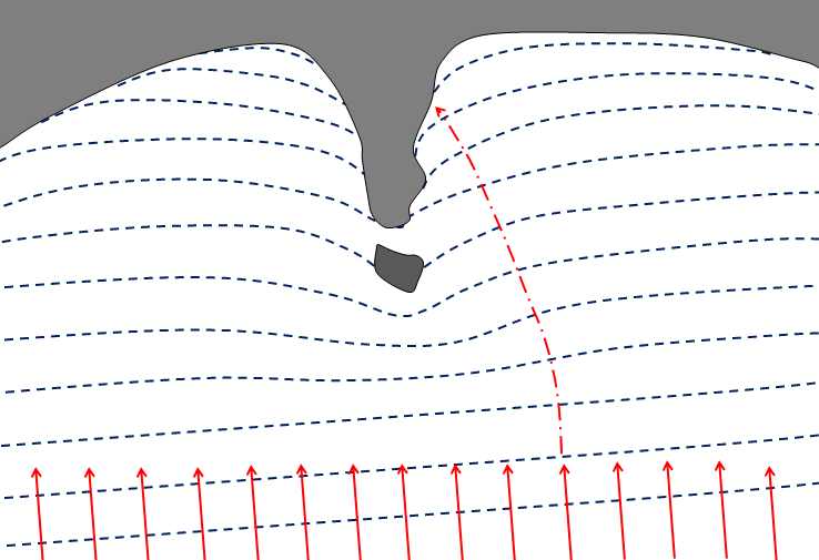
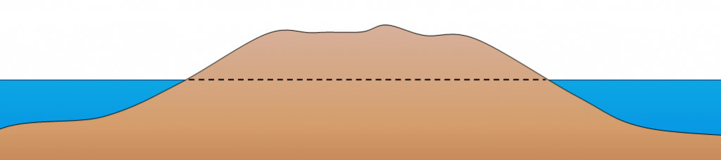
Figure B represents an island on the central coast of B.C. that has experienced 140 m of isostatic rebound since deglaciation, and has also been affected by the global eustatic sea-level rise over the same period. The dashed line marks sea level during glaciation. How much higher or lower should that line be now?
If a dam were to be built on the Fraser River near Hope, what would be the long-term implications for beaches in the Vancouver area? Explain why.
Media Attributions
- Figure A, B: © Steven Earle. CC BY.
<!– pb_fixme –>
<!– pb_fixme –>
